Demo site 1
Iller River - Germany
Click on the icons to explore


Sediment management:
Artificial gravel input
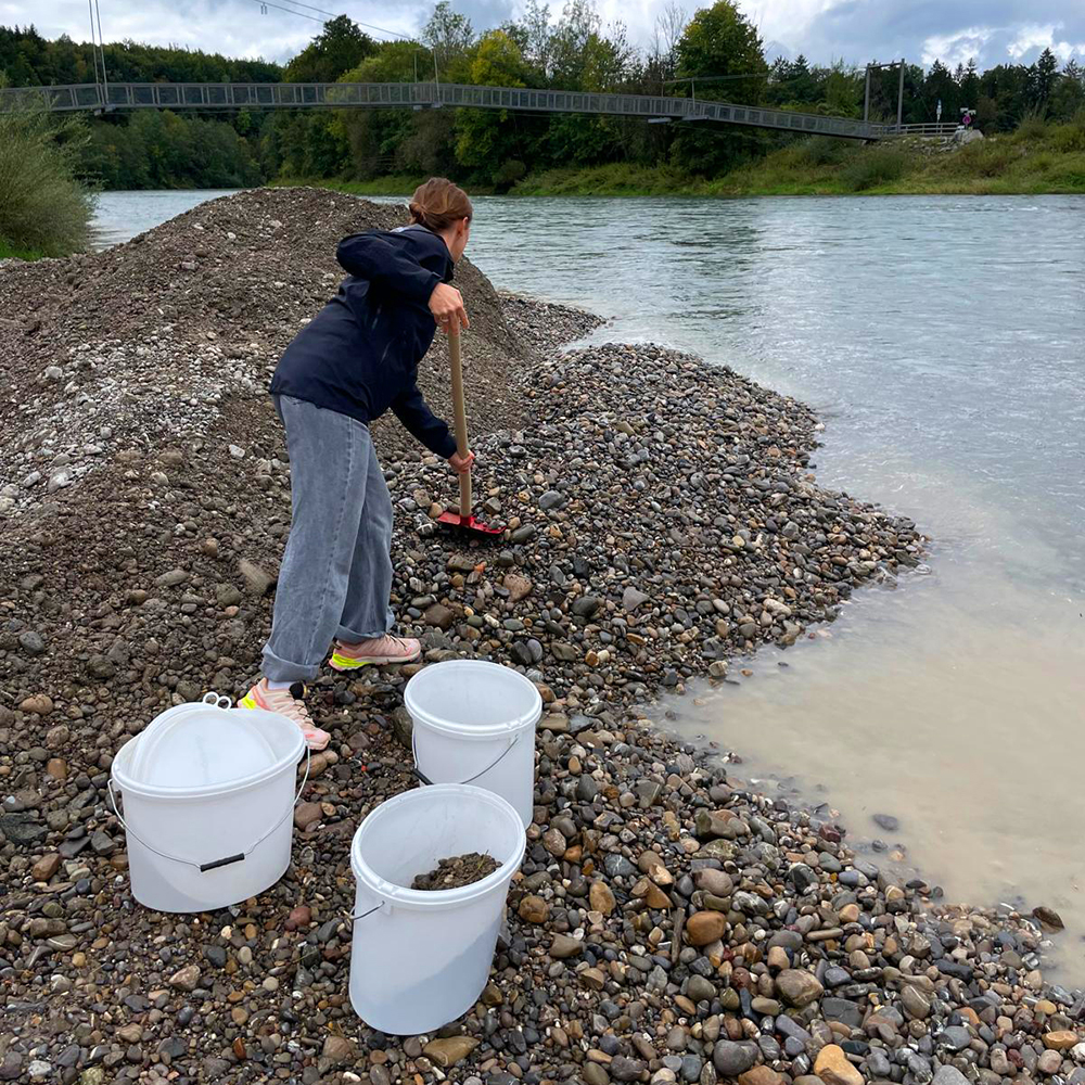
While gravel naturally deposits along river shores, it can also be introduced manually to manage the sediment balance along a river. This work started with the ISOBEL project which you can find resources about in the description below the map [2].

Sediment management:
Manual gravel input
While gravel naturally deposits along river shores, it can also be introduced manually to manage the sediment balance along a river. This work started with the ISOBEL project which you can find resources about in the description below the map [2].
HydrEcoSedimentary tool (HEST):
The HEST approach helps researchers understand hydro-sedimentary processes. Read more about tool in the description below the map [1].

Fish passage:

Sediment management:
honeycomb and arc-shaped structures
Honeycomb and arc-shaped structures made of large boulders were implemented in the Iller River to reduce gravel erosion and stabilize the riverbed. These in-stream structures act as large roughness elements, modifying local hydraulics by inducing flow separation, turbulence, and recirculation zones, which promote sediment retention and redistribution. This work started with the ISOBEL project which you can find resources about in the description below the map [2].

Exposed sandstone:
In these sections, the riverbed sediments have been almost entirely eroded which is shown as exposures of bedrock. But sediment management measures, including structural elements and gravel deposits, have significantly improved the conditions.

Problem
The Iller, a major tributary of the Danube River, represents a heavily hydropower-regulated site where dynamic sedimentary transport processes are disrupted, impacting the habitat availability and quality for key freshwater species.
Our response
Integration of sediment monitoring through innovative tools; implementation of sediment measurements and reservoir operations and assessment of their efficiency to reestablish sediment dynamics. Both field-based and hydrodynamic modelling assessments will be used to improve measures and inform future solutions.
Stakeholder involvement will play a crucial role in the implementation stage, and its success will lie on the well- established stakeholder involvement structures in the region, such as the Steering Committee for the Iller Strategy, and past European projects such as the LEW-led LIFE Isobel Program.